Is it possible to create a territory or data map that shows both the USA and Canada in one map?
Solved
How can I create a USA and Canada Map in Lucid?
Best answer by Micah
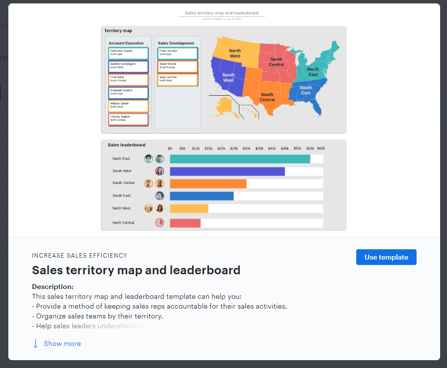
Hi Jolene thanks for your response. This template is intended to serve only as a starting point and there's not a way to automatically add Canadian provinces into it - apologies for the inconvenience! I would recommend creating province shapes on your own to add onto the template whether that is by creating a custom shape using the flex polygon shape or importing an image or icon of the province and adjusting it accordingly. Alternatively you can import an image of a map that includes both US states and Canadian provinces then use lines or custom shapes to highlight or identify different territories. I hope this helps!

Create an account in the community
A Lucid or airfocus account is required to interact with the Community, and your participation is subject to the Supplemental Lucid Community Terms. You may not participate in the Community if you are under 18. You will be redirected to the Lucid or airfocus app to log in.
Log in to the community
A Lucid or airfocus account is required to interact with the Community, and your participation is subject to the Supplemental Lucid Community Terms. You may not participate in the Community if you are under 18. You will be redirected to the Lucid or airfocus app to log in.
Log in with Lucid Log in with airfocus
or
Enter your E-mail address. We'll send you an e-mail with instructions to reset your password.